
Downlink Satellite images
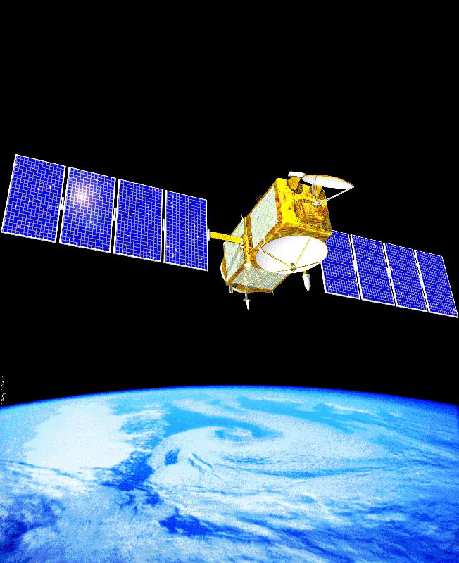
From October 10th 2016 Milbank PWS went live publishing its own live weather satellite images. These images are received direct from NOAA 15, 18 and 19 polar orbiting satellites using the RTL RS208T2 chipset Dongle receiver linked to SDRSharp software connected to a homemade QFH (Quadrifilar Helix) antenna and decoded using the WXtoimg Programme running on a Windows10 PC.
Details for North American NOAA (National Oceanic and Atmospheric Administration) Satellites are:
| SATELLITE |
NOAA 15 |
NOAA 18 |
NOAA 19 |
| Orbit time |
101.0 minutes |
102.0 minutes |
102.0 minutes |
Height (min-max) |
805.80-820.30km |
847.70-869.50km |
849.90-868.70km |
Inclination |
98.80° |
99.20° |
99.10° |
Downlink frequency |
137.6200MHz |
137.9125MHz |
137.1000MHZ |


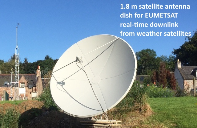
In August 2017 EUMETSAT granted us a licence to directly download weather satellite data and disseminate this information into whole earth images through their EUMETcast Broadcast System for Environmental Data.
Our licence does not permit us to publish live downlink images, but the types of images we receive directly from the EUMETSAT satellite are displayed below
Our licence does not permit us to publish live downlink images, but the types of images we receive directly from the EUMETSAT satellite are displayed below


Examples of weather satellite images downloaded from EUMETcast Broadcast System for Environmental Data. These images were downloaded directly by MillbankPWS from EUMETSAT satellite on the 17th of December
2017 at 1300utc
under licence from
EUMETSAT. Images
were constructed
and enhanced using
GeoSatSignal
software and the
AYECKA SR1 receiver
connected to a 1.8m
prime focus antenna
dish.
2017 at 1300utc
under licence from
EUMETSAT. Images
were constructed
and enhanced using
GeoSatSignal
software and the
AYECKA SR1 receiver
connected to a 1.8m
prime focus antenna
dish.
Whole 'disc' image recorded on the 5th of February 2018 between 0700 and 1800 UTC. Click on the expand button in the bottom right hand corner to see the cloud movements in a full screen.

Visitors
NOAA 15, 18 & 19 now decommissioned and nonoperational. We are in the process of building a new Weather Satellite Receiving Station.